
This is the account of my lone and somewhat disastrous first attempt to climb Scafell Pike in November 2007. It was quite an adventure and I’ve retold the story numerous times over the years, but here it is written down for the first time, proudly presented in the knowledge that most regular Lake District hikers will consider this tale sheer idiocy 😀
The Scenario
That day I was alone, nobody knew where I was or where I was going, as I hadn’t told anyone. The mountains were quite empty too, being November 2007. The day before I may have told my Dad I was heading to the Lake District, but that was about it. My provisions included some chocolate, some biscuits, some bread “sandwiches”, some Kendal Mint Cake and some water. The weather was quite pleasant to start with and I set out reasonably early for once. Having not hiked a proper mountain for a quite a while, I thought it would only take a few hours to climb England’s highest mountain and using the official Scafell Pike Ordnance Survey map, assumed the trek to be fairly straight-forward. How wrong I was!
The Prelude Hows and Whys
So how did all this start? well due to everything going laughably wrong in my work, tennis, love and home life, I decided to go and climb Ben Nevis. Figured a time away from everyone and everything in the Wilderness would be a good change. As everything else was going dismally wrong it was no surprise when the mountain weather forecast (www.mwis.org.uk) turned out to be particularly rubbish for the Ben Nevis region that week, in fact they were forecasting snow up there – making the climb impossible!!! Well, I’d just had enough and decided to head to Scafell Pike instead come what may.
This account is in diary format because it’s from my diary of the time, so pls forgive the grammar…
Monday 5th November 2007 – Heading Off
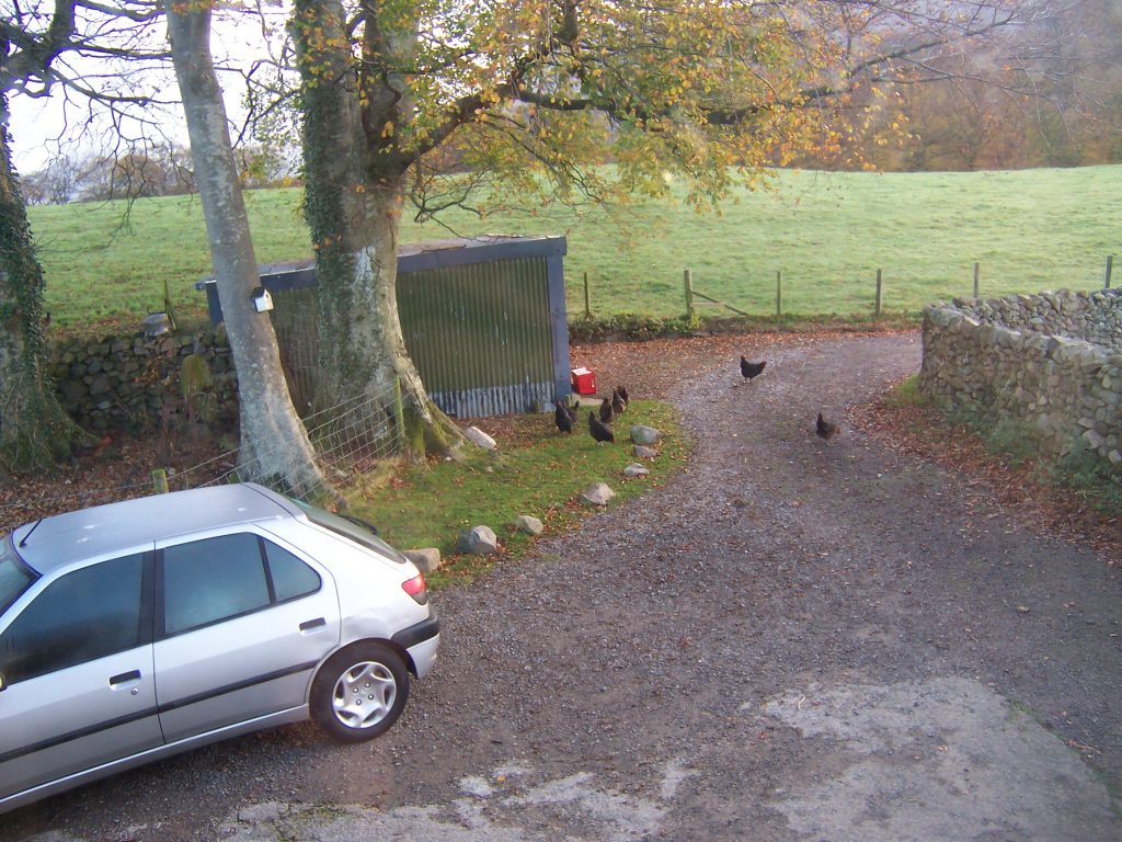
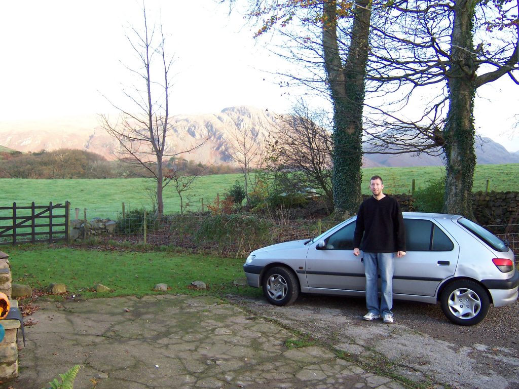
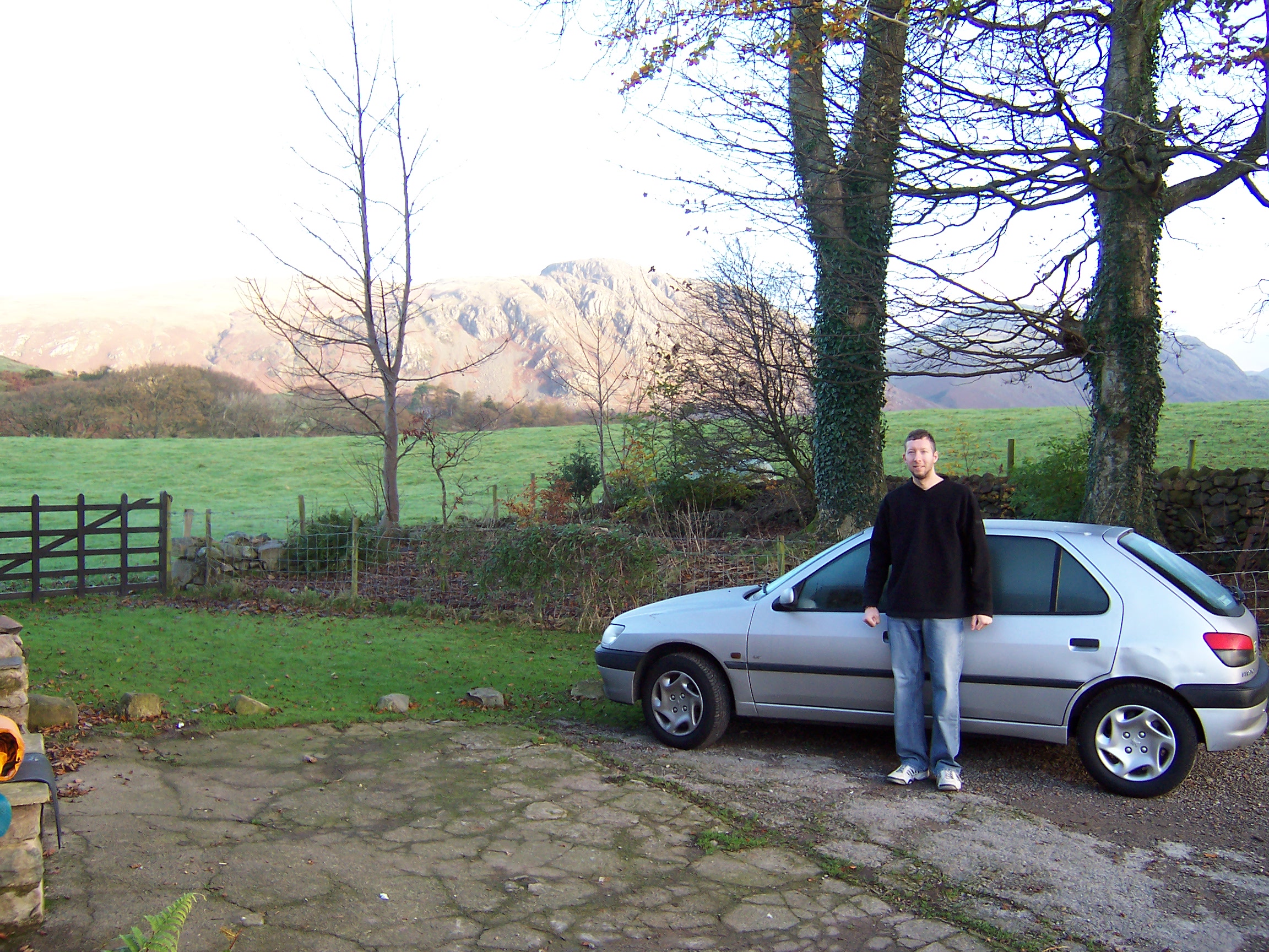
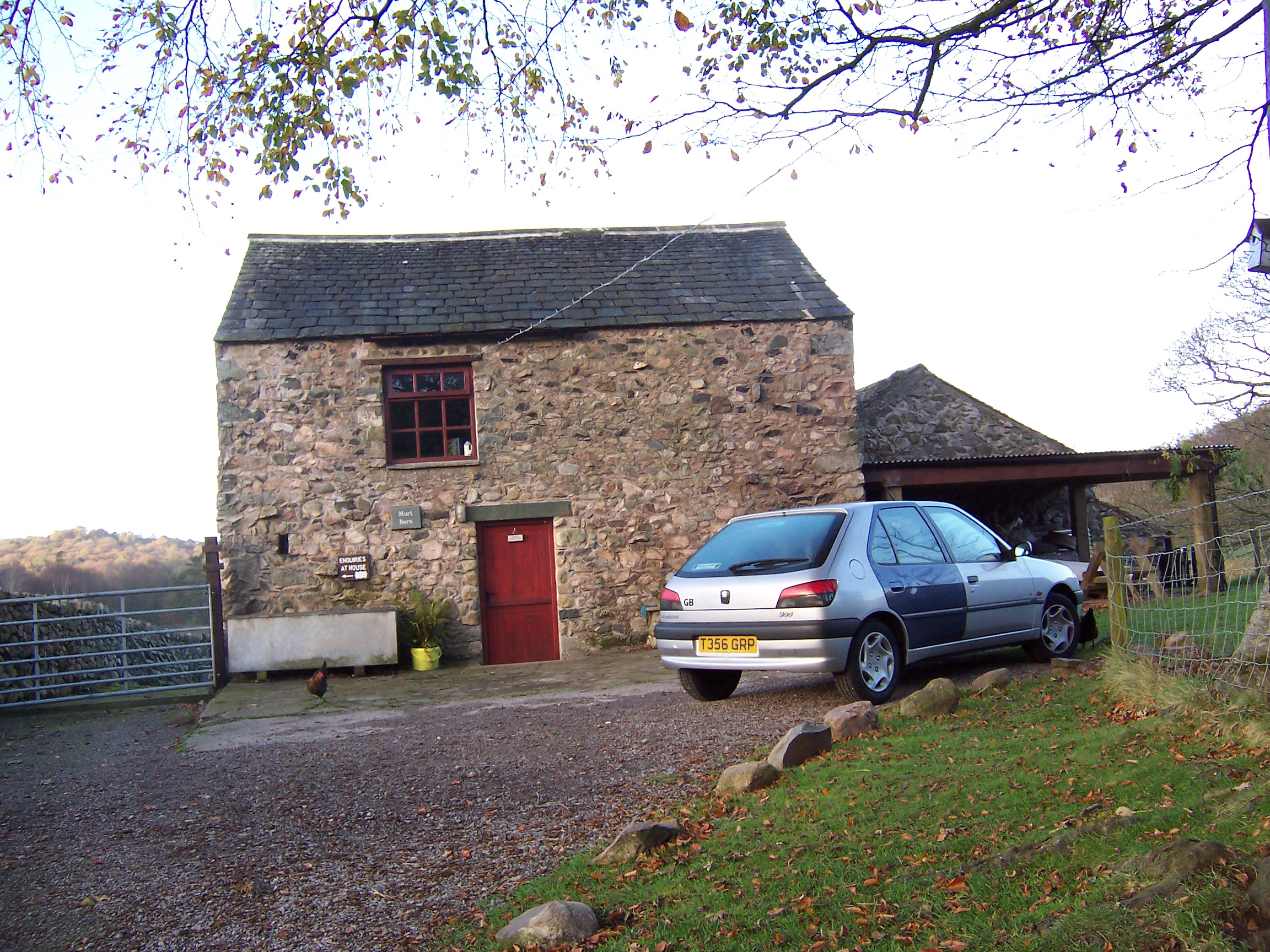
After much packing of food, pots and pans, clothes, my tent(cos I planned to go camping) etc into my beloved Peugeot 306 and then being delayed some more due to having to pay my road tax at the post office(those were the days), I finally left Wimbledon around 3pm and drove for 7 hours non-stop up to the Lake District. The last 2 hours was heavy driving rain, but it completely cleared up as I reached my destination. I’d booked a spot in the newly advertised Murt Camping Barn (from the Independent Hostels website ) in the village of Nether Wasdale near Penrith. It was described as somewhat of a barebones barn, which was 5 miles away from the Scafell Pike classic mountain trail at Wasdale Head. It was very cheap back then and being November was off-season. This was in the day before Google maps and I had to locate the place in pitch darkness, using just my old fashioned map, some sparse directions given in the Murt booking email and my car headlights. After driving along various country lanes, my headlights luckily spotted a hand-written sign stuck to a tree at a crossroads which pointed to the barn. Just as I got to the sign, rather oddly I got a phone call from a friend inviting me to join him on the “Landmark” course, which I didn’t take up. It was remarkable really because beyond this point there was virtually no mobile signal in the area at all and he’d phoned me just at that minute. Anyways, after a bit more searching the barn was located down a driveway.
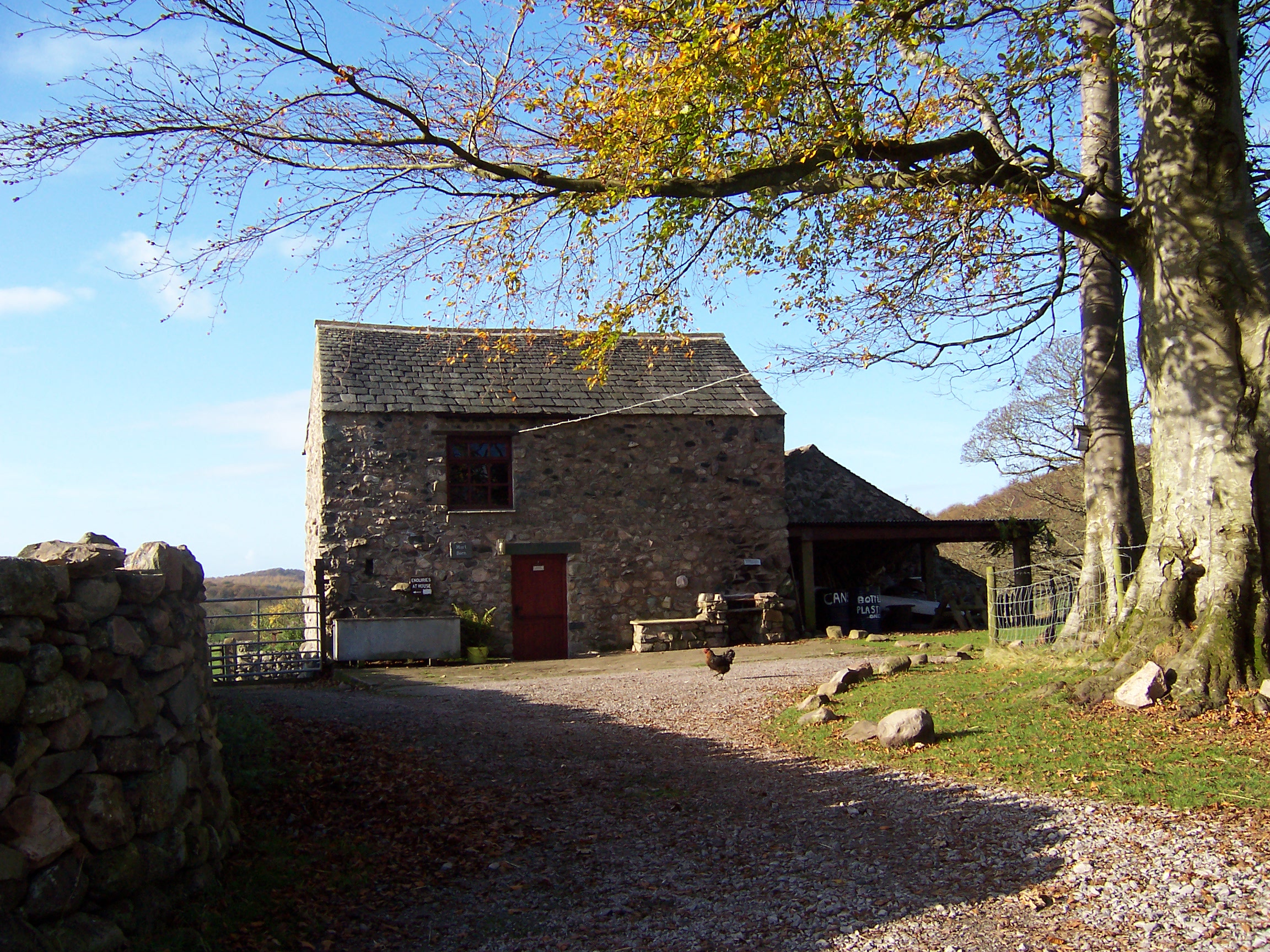
The Murt Camping Barn
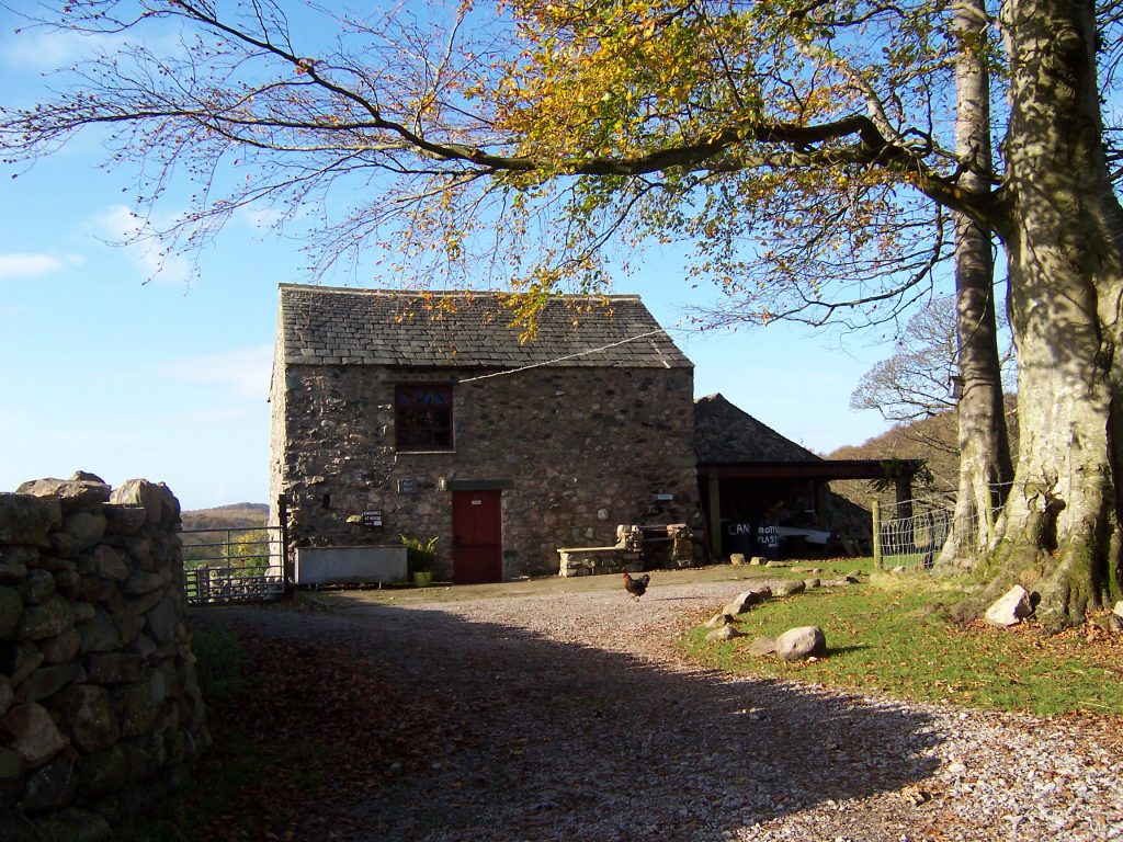
First memories of this place are being amazed at the stars and the clearness of the sky, definitely the best since I lived in Australia!
The barn was also a lot better than expected – it had two floors – the bottom having a toilet, a coin-operated shower and sink (allegedly with hot water). Upstairs having a wooden picnic table, 5 matresses and an eating area. It even had electricity and lights! I cooked some soup using my gas pocket-rocket stove and went to bed, pitching my sleeping bag upon one of the mattresses.
Brilliantly my sleeping bag turned out to be a summer sleeping bag and it was a very cold night, but I was young enough to have slept moderately well and it was a bright morning to awaken to!
Tuesday 8th November 2007 – A Nice Day To Climb Scafell Pike

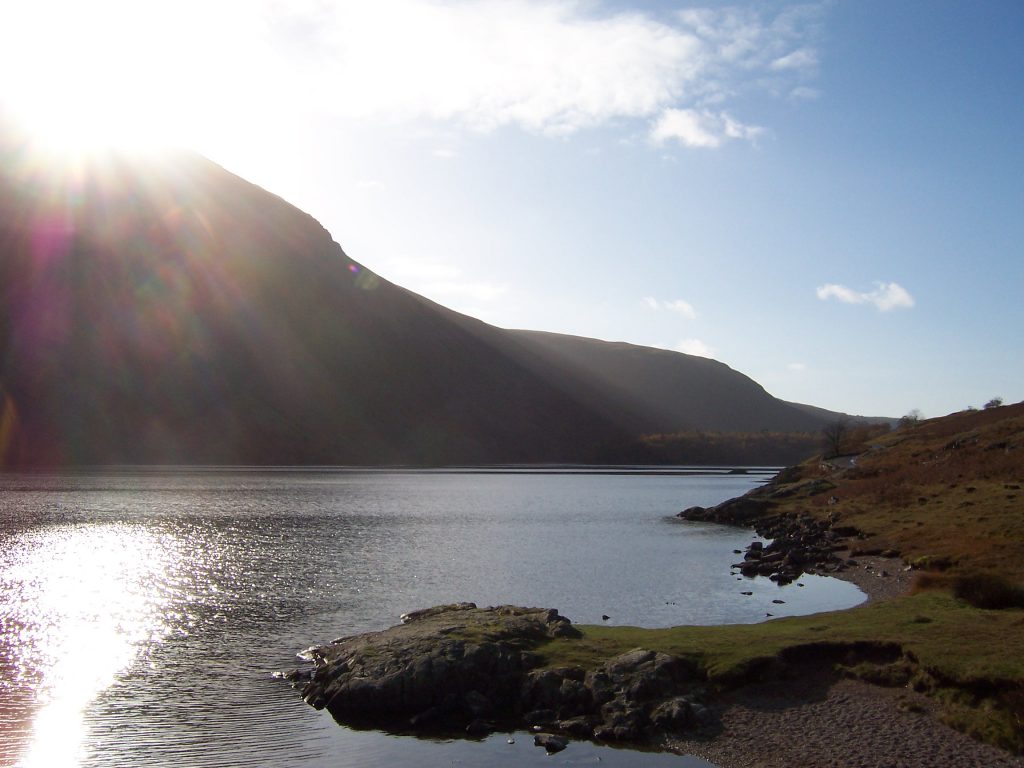
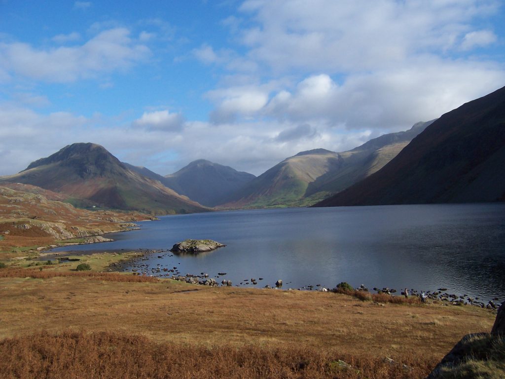
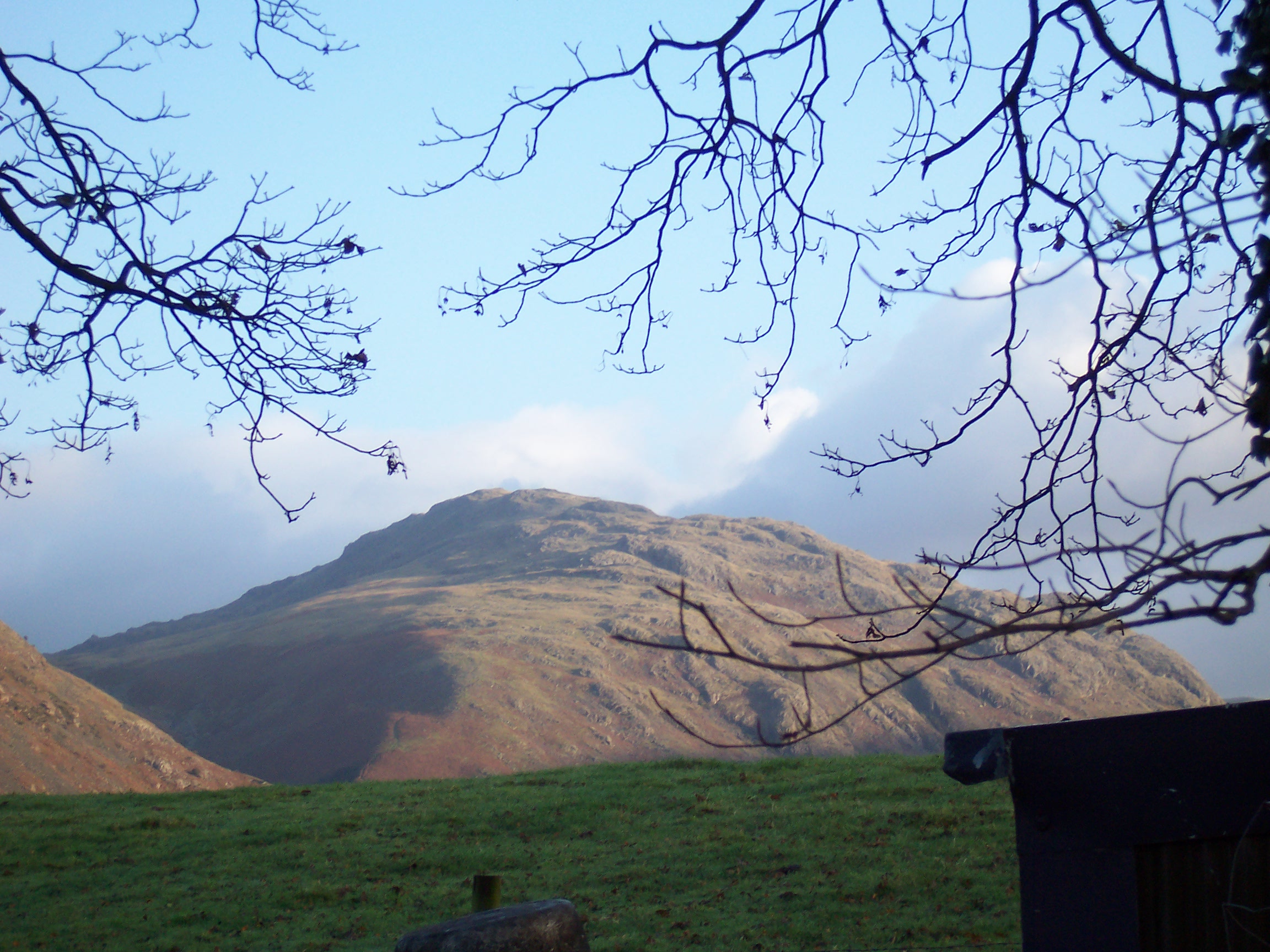
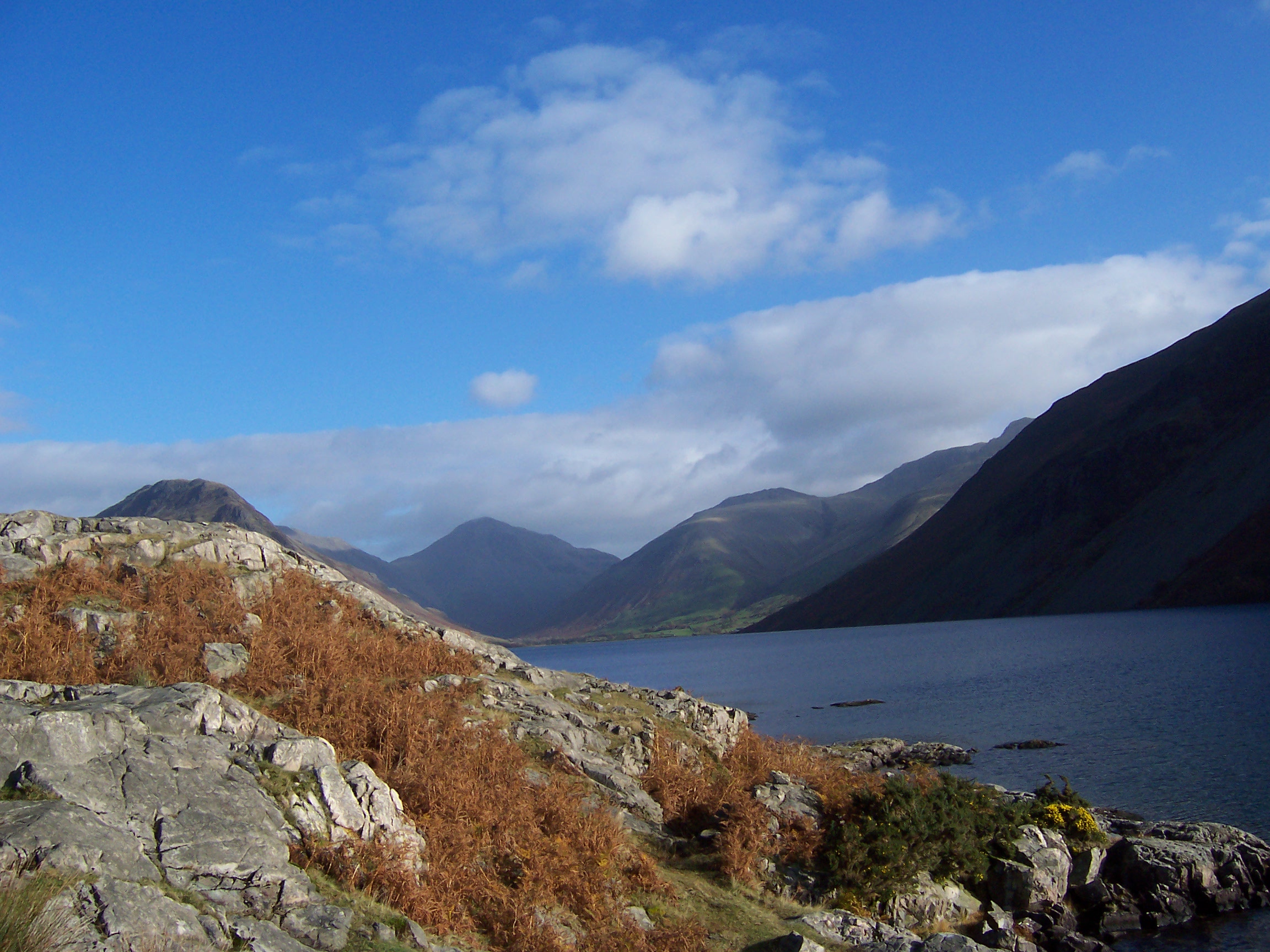
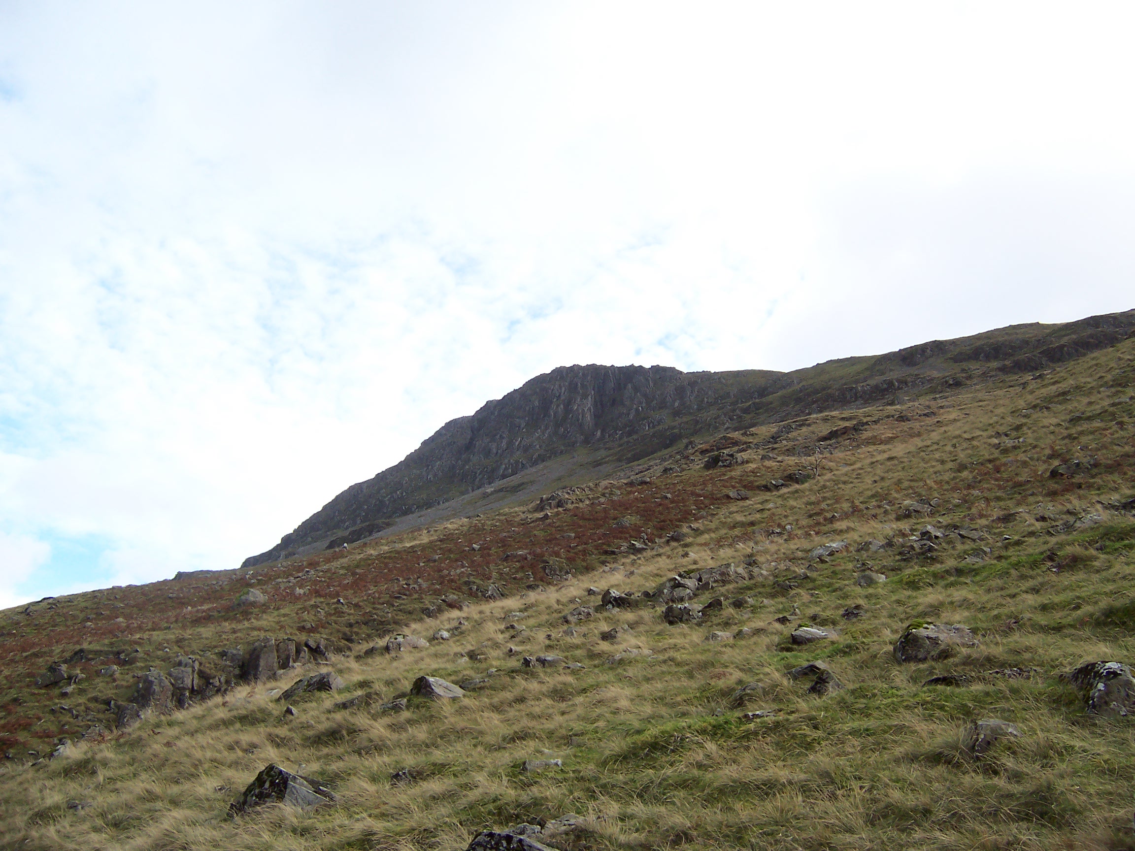
Opening the barn door I was stunned by the view, it was nothing like expected! surrounded by countryside and mountains, there were chickens in the back yard, with fresh eggs too (don’t forget I’d arrived at night). Shortly afterwards I set off in the trusty Peugeot 306 down the road toward Wasdale Head, the drive past Wastwater lake is spectacular as well as somewhat daunting with the huge lake contrasted by giant slate mountains surrounding both sides. I honestly didn’t think you had mountains like this in England, but you do. I parked at some random parking area and hoped that was alright. I discovered and let me emphasize – there is nothing at this Wasdale Head place, except a pub(The Wasdale Arms), a small Inn hotel (which looked closed) and a hiking supplies shop. I visited the hiking supplies shop and bought some Kendle Mint Cake, along with the Scafell Pike Ordnance Survey OL6 map, because the lady in the shop said it contained more info than the simple “walkers map”. This was probably my first mistake. So this OS map, it shows all the paths up and around the mountains and how to get to the summit of Scafell Pike(978m high). Let me point out there are quite a few other peaks in this area.
The Trek Begins
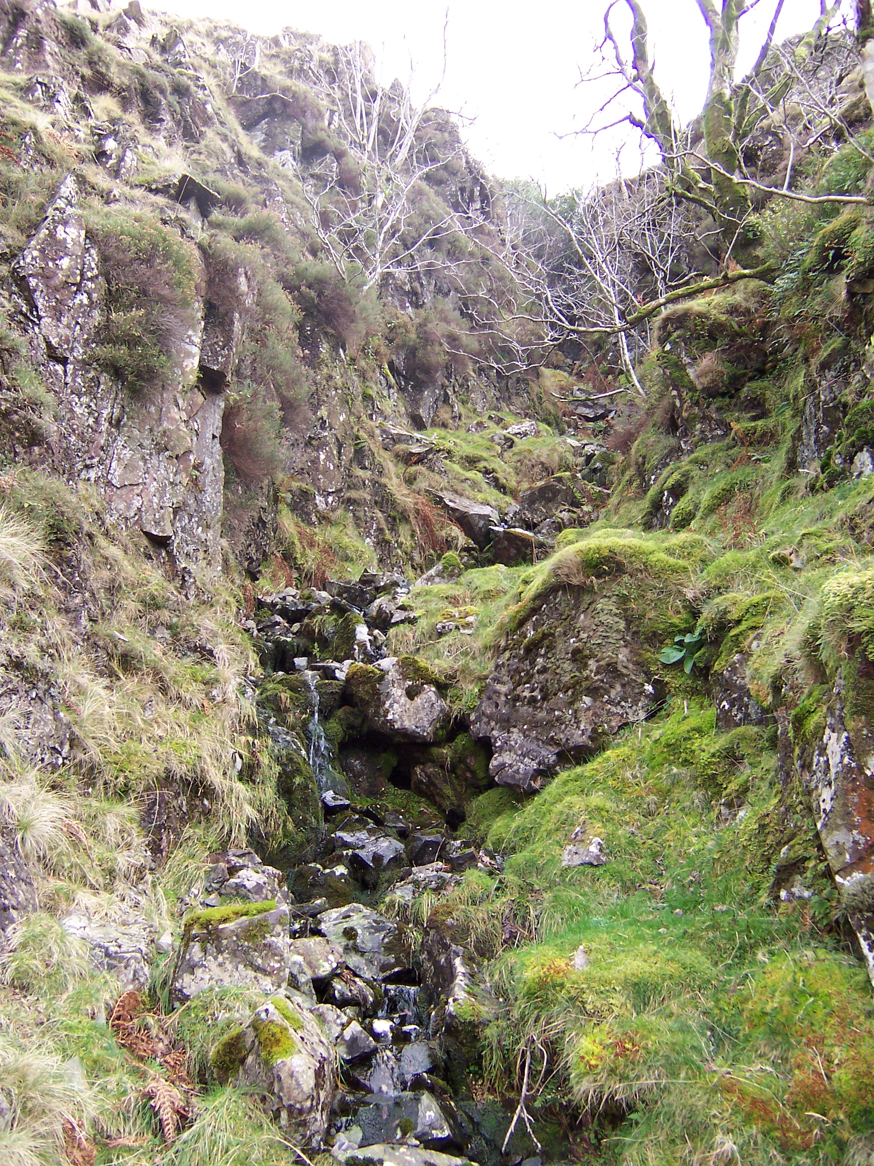
So I set off walking. First problem here I noticed was that there were no signs to anything! this was unlike the treks I’d been on in Australia and New Zealand. Anyway, I eventually found one saying “Scafell Massif footpath” so I followed that and crossed the nearby river and decided to turn left cos I couldn’t make out the right hand path very well and the map looked to me to take the left path anyways. Now what happened next was because I didn’t read the map properly or rather I didn’t know how to read the map properly at all! I mistook a waterfall on the map for the river I was next to and ended up walking almost around the base of the mountain for about an hour!
After this hour I’d noticed I wasn’t actually going up any mountain at all, so I tried to work out where I was using my compass, but to no avail! I then decided rather angrily that the map/path was wrong and I was going to climb the mountain face literally 😀 The angle of the hill here was about 70degrees and I think here was where I pressured my knee joints too much the first time! Even worse I got to this place with some rocks, to have a rest and a snack, putting my backpack on the aforementioned rocks and the friggin’ thing fell off and rolled down the mountain slope and I had to chase it downwards, luckily it stopped after about 100m’s, but that was still most heinous!
Anyways I carry on trekking up hill as that seemed the sensible thing to do. It was quite tiring, but I like to push myself so I just walked and walked. Eventually I get to some “peak”, which I assume might be Scafell Pike and it’s here that I spot the first 2 people I’ve seen all day long. I must’ve been walking for nearly 3 hours by now. From a distance I holler at them asking where Scafell Pike is and they point towards these 2 distant peaks.
On The Run From The Mist
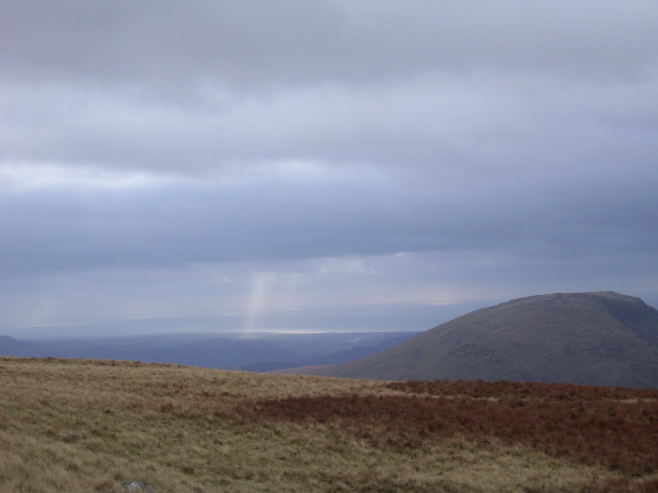
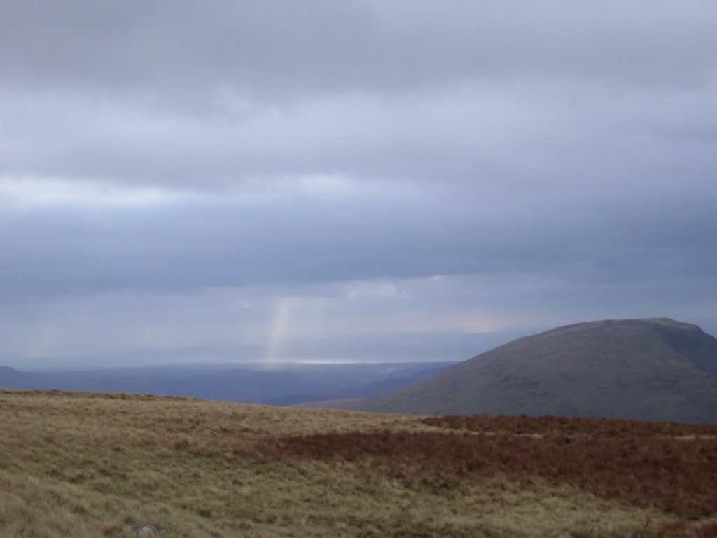
Most heinously I notice that the mist is starting to come down on the peaks they pointed at, like rolling clouds covering everything, was an amazing sight. Now it was also about 2:30pm, in November and whilst I wanted to out-run this mist, more importantly I was very determined and to me more importantly was to get to the top!
After going cross country some more I finally find some semblance of a path, which is good, as at this point I am getting most annoyed at the lack of paths in this place! again I look at the map and have no idea where I am on the map, but I follow the path and come to some cairns (which are stone markers) which I follow, as these are usually a good and helpful sign of going “somewhere”.
The Mist Catches Up
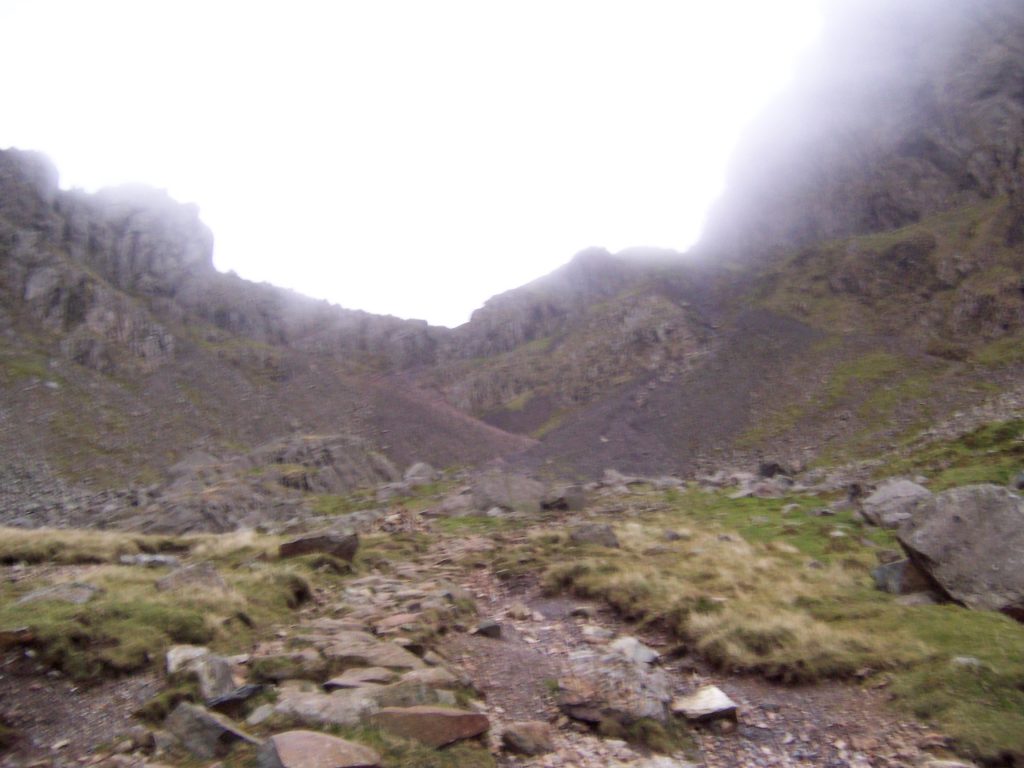
Now what amazed me was the speed the mist caught me up and soon it covered all my surroundings. Visibilty dropped to about 5 metres, as everything else was engulfed in cloud. I really didn’t care though, as getting to the summit is what mattered and the path was going upwards at least.
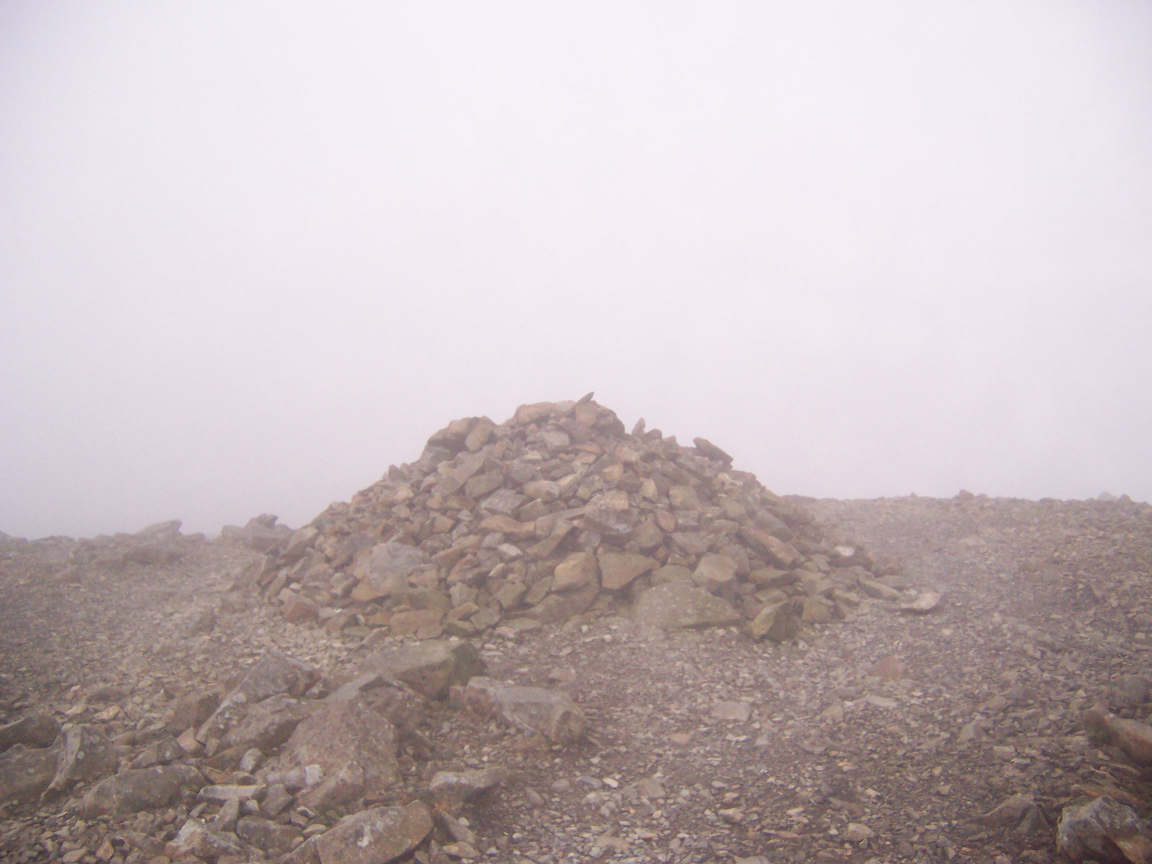
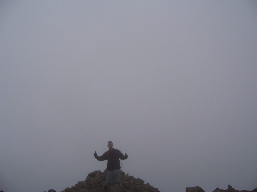
I then meet this bloke and his dog heading in the opposite direction and ask him where the Scafell Pike summit is and he indicates to keep following the path and says “yeah you can’t miss the summit”. I also ask how to get back down and he says take the right path. So I keep following the path am on, eventually getting to a kind of highest point area and then the flippin’ path divides in two! Marvellous! It is marked by the biggest cairn ever seen and I assume this MUST be the top, I am most annoyed by this cos again I’ve no clue where I actually am and there’s no markings or anything on it indicating this is the top, but I just have to guess this is the top(it wasn’t the top), which would be just typical of this place which refuses to have any signs anywhere!
Don’t Panic – It’s only freezing with 0 visibility and you’re lost, alone and wearing shorts!
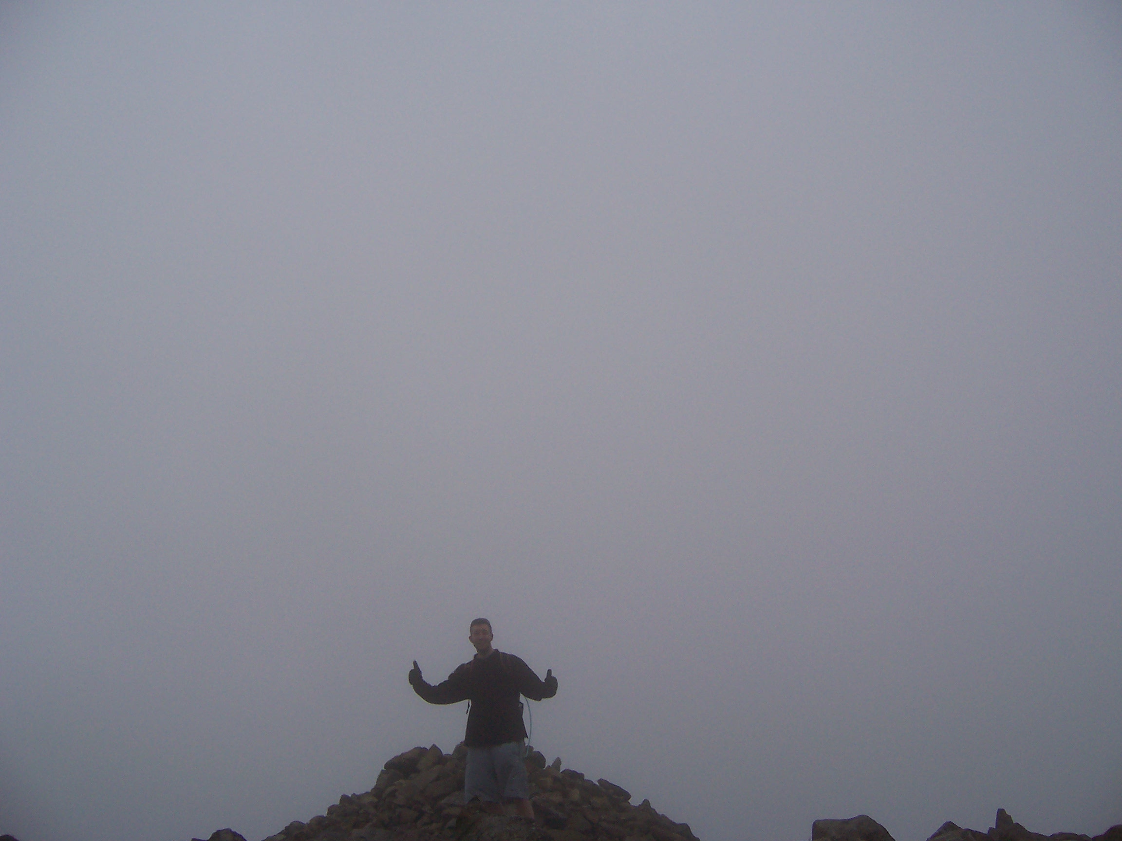
Despite being at the alleged top, here is where a minor panic starts! I take a photo of this alleged “summit” and decide pronto is the time to leave! Despite the calmness of these words, let me describe the scene – the mist has seriously descended even more, visibility is about 10feet, the temperature is probably below ZERO, my fingers are numb and the wind is kicking up at hurricane force. I’m also alone, wearing shorts and gloves that aren’t water or wind proof! More importantly I’ve got about an hour of daylight left to get to ground level from a place where there are no defined paths or routes to anywhere that I can find! The path I’m on is now forked and I’m really not sure which one to take. I have to say, this is the scariest outdoors situation I can remember. I pretty much felt that if I got stuck out here in the dark I would be in BIG trouble. At this time I was also most concerned about reports of Panther’s and other wild animals out on the moors! Beforehand I was very cynical about how you can possibly get lost on a mountain, all those stories about folks getting lost for days or having to be helicopter rescued etc. sounded quite stupid to me, but now I know how it can happen! So I decide to follow what the dude on the path said and take the right turn. So I hop down this path as fast I as I can, becoming very conscious of the dimming light.
One Fluke Moment As The Mist Clears
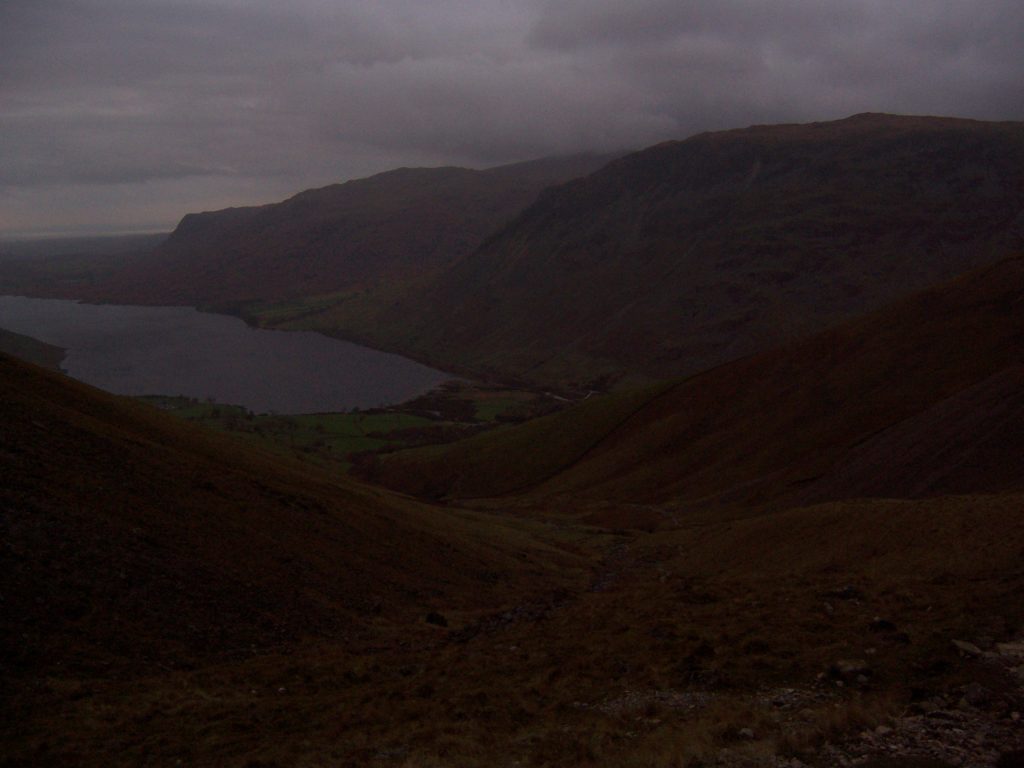
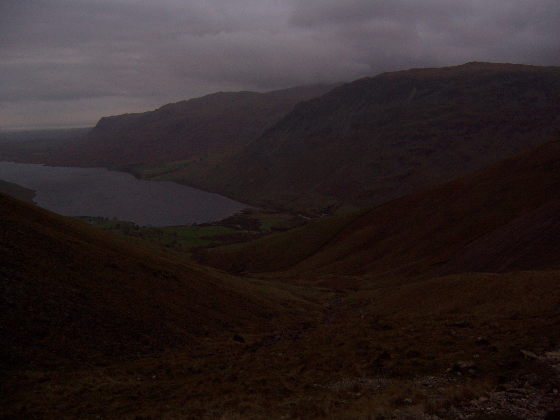
Eventually I find a wooden hut amongst the rocks, open the door and it’s some kind of an “Emergency Shelter” and…NOW THIS IS THE BEST, I look on the map and the ducking thing isn’t on there!!(well I couldn’t find it) Frantically consulting my compass, I look over to where the path goes(South) and in the distance across the mountain I see what looks like a road, “oh good” I say to myself, that must be the correct way home, HOWEVER, just before setting off again I notice at the side of the shelter and in the total opposite(Northly) direction is a sheer cliff which has mist and gale force winds rocketing up from it. Intrigued by natural wonders like this I randomly decide to peer over the windy and cloud swept precipice and just as I do, the mist clears for about 20 seconds! I glimpse the edge of a lake! Hang on I think, there’s only one lake round here. Quickly looking again at the map, I confirm there IS indeed only one lake around here and that’s Wastwater and hang on, what is that shiny silver object? that looks like a couple of cars parked next to it! Again luckily I had my big binoculars so I check it out, it IS cars, it IS Wastwater!! I decide I’m taking those binoculars on every mountain trip ever from now on! Once again the clouds engulf the area and the view of the lake and the cars disappears, but peeking directly downwards(in the direction of the lake) I see a path at the bottom of this sheer cliff!
Only One Option – Jumping Off A Cliff
Now I realise that due to this somewhat desperate predicament there’s only one option – I have to descend this 80 degree ducking cliff and get to that path! With an intake of breath, I kind of ease myself down and jump off it, literally into the breach of rocks! adrenaline takes over as huge winds blast against me as I fall/descend! it was here that I tragically lost my beloved 2002 US Open Heineken Day Cap, blown off by the wind and despite an attempted search it was never seen again 🙁 I end up spending a good 20minutes on my hands and knees slowly sliding or surfing on scree(loose rocks/stones)!!! it was totally Nuts and upon reflection somewhat mad and staggeringly dangerous, but I HAD to get to that path or get stuck/lost on the mountains all night long.
At one point I see the path below is bordered by a flat wall and lined with a wire railing, I had visions of being stuck on the wrong side unable to get across, but somehow I jump down over that and land on to the path. Relief ensues, as this is clearly a path winding downwards to the safety of ground level. After this cliff descending “event” my hands/knees/legs are not in the best condition and I then have the pleasure of walking another 3-4miles as night fall begins. The path eventually leads back to the bridge I crossed originally and I get to see the waterfall what I thought was a river on the map. By now it is very dark and I realise where I’d gone wrong on the map!! it dawns on me how easy the hike should be if you go the right way and find this path, oh well I ponder, maybe I’ll do it tomorrow 🙂
Staggering Into The Pub

I roll into the Wasdale Arms pub, totally shattered, ordering a nice pint of ale and a beer & beef pie plus mash. Man, was I grateful for that pie! reckon I must’ve walked 15+ miles that day including several miles on a serious uphill slope. Consulting the OS map, it turns out I was possibly about 1metre from the summit in height and probably 3m’s away from the stone monument that marks it 🙁 !!
I later discover that if I had followed that path by the Emergency shelter South, I would have ended up on the other side of the mountain. The ‘road’ I saw was actually another river! And there’s NOTHING out there for about 20miles! It would have been a true test of my survival skills. To be fair I did have a thermal vest and trousers and food in my backpack and I’ve always considered the SAS survival skills I learnt as a kid would save me in such a situation, but I think cos of my general low confidence and stressed-outness I didn’t fancy this at the time. Anyways, let me state back then it took an awful lot to really physically tire me out, I’ve planted sugar cane all day, played tennis for hours on end, run to Kingston etc and not been too bad afterwards. The only comparison I can make to this “Scafell adventure” is possibly when I did the insane Grand Canyon “walk” with Nathan back in August 1999 where I only survived because I’d bought a t-shirt and in the end was totally exhausted!
End of a Wonderful Day – More Fun Back At The Barn
After all this I went back to the barn, discovered the frigging heater on the shower didn’t work, honestly only wanted one thing that day, a hot shower, BUT NO NO NO, couldn’t have that, so went to bed.
After Thoughts – ALWAYS BE PREPARED
So Why was I so badly prepared? Well simple answer is I was oblivious to how the weather can change out there combined with having no idea how to read an OS map properly. That’s just how I rolled back then so to speak too, despite my Dad telling me endlessly the scout’s motto “Always be prepared”. In my defence I’d done a “bit” of hiking in Australia and New Zealand, where the weather was way better. I hiked the Overland 110km trek in Tasmania on my lonesome over 8 days wearing regular trainers, no need for any of bonefide trekking boots for me like what everyone else I met on the trek had. Apparently if it had rained it would’ve been big trouble, but it didn’t rain 🙂 As an illustration of my lack of preparedness suppose should admit on the Overland I became known not as the guy in trainers, but as the guy who didn’t have a gas stove and had to hike an extra 20km to the start and back on the second day to buy one. Well, sure I’d read somewhere they had free gas stoves on the way, ah well.
Since 2007 the other thing have always wondered is how/if I would have survived the night out there on the mountains. Despite my obliviousness to other things, my actual survival knowledge/skills surprisingly shouldn’t have been at a bad level. Oddly inspite of only having been in the Cubs 3 weeks and having never been a scout or doing any adventure training whatsoever I was brought up camping, learning to make fires etc. As kids, my younger brother had the original SAS Surival book by John “Lofty” Wiseman and we both read and learnt every page in that book from trap making to which fungi kills you. Before he owned it, we often used to borrow it from the library, put it that way. I also had an Osbourne Survival skills book and still remember a lot from those books and those days, this was way before TV shows like Ray Mears or Bear Grylls, so we were kind of ahead of our time on this one. If I had taken the wrong path it would have been like being chucked in at the deep-end after practicing in a paddling pool, a real interesting test.
DISCLAIMER – Important
I suppose I’d better not recommend doing this to anyone else, so if you’re visiting the mountains anywhere, take with you all equipment needed and learn to read a map BEFORE you go + tell someone where you are going, in case you do get lost. zzz
Gallery


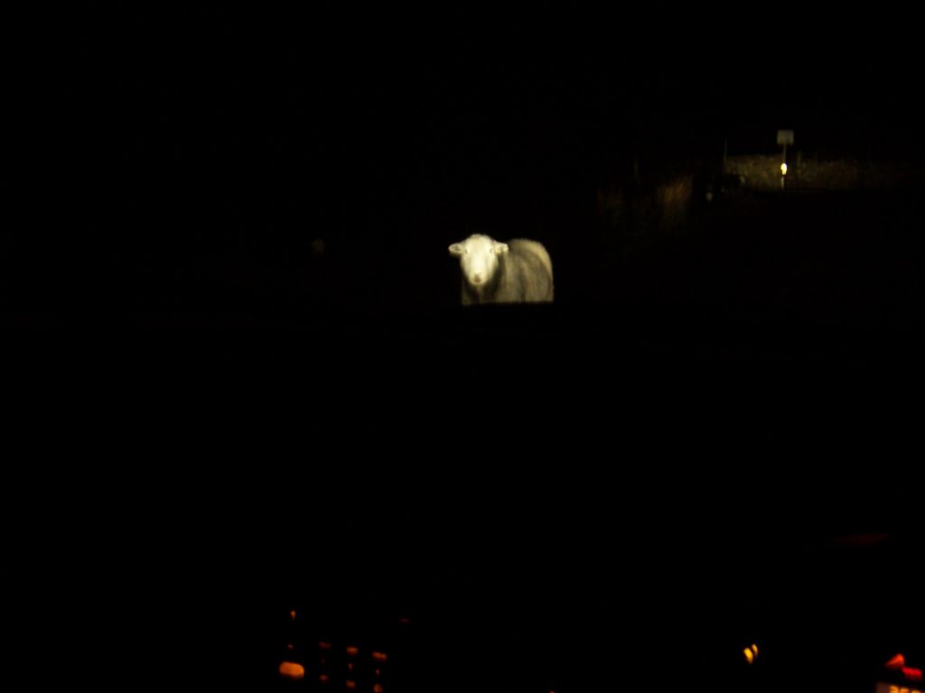
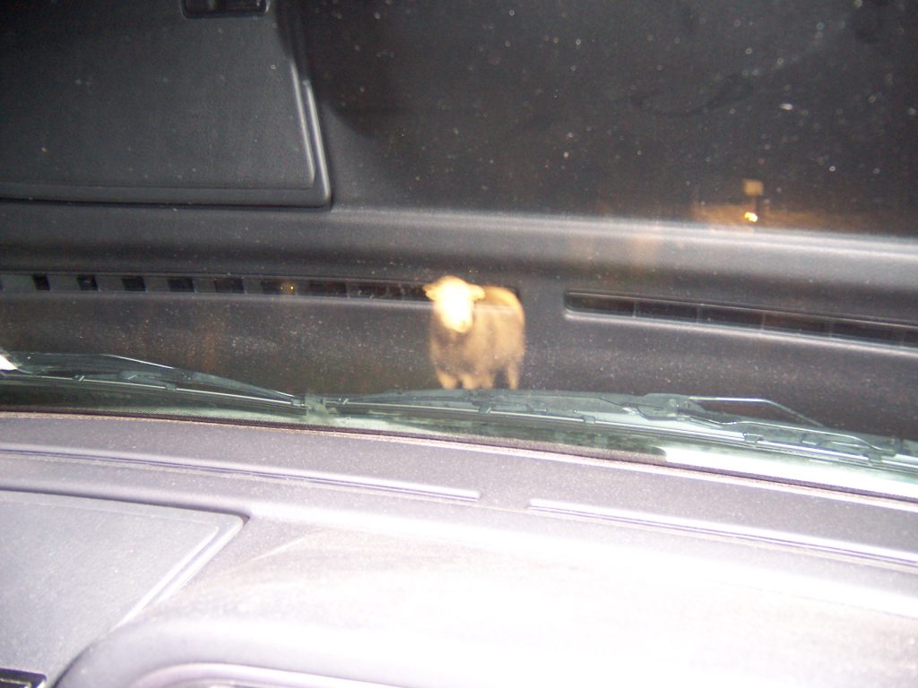
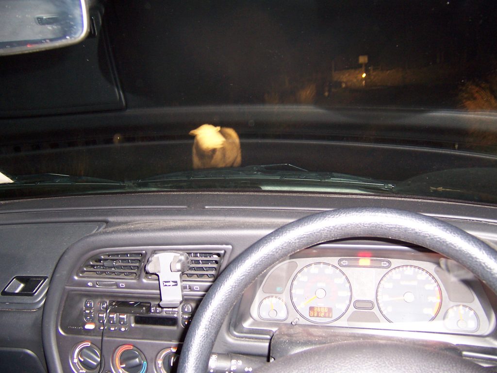
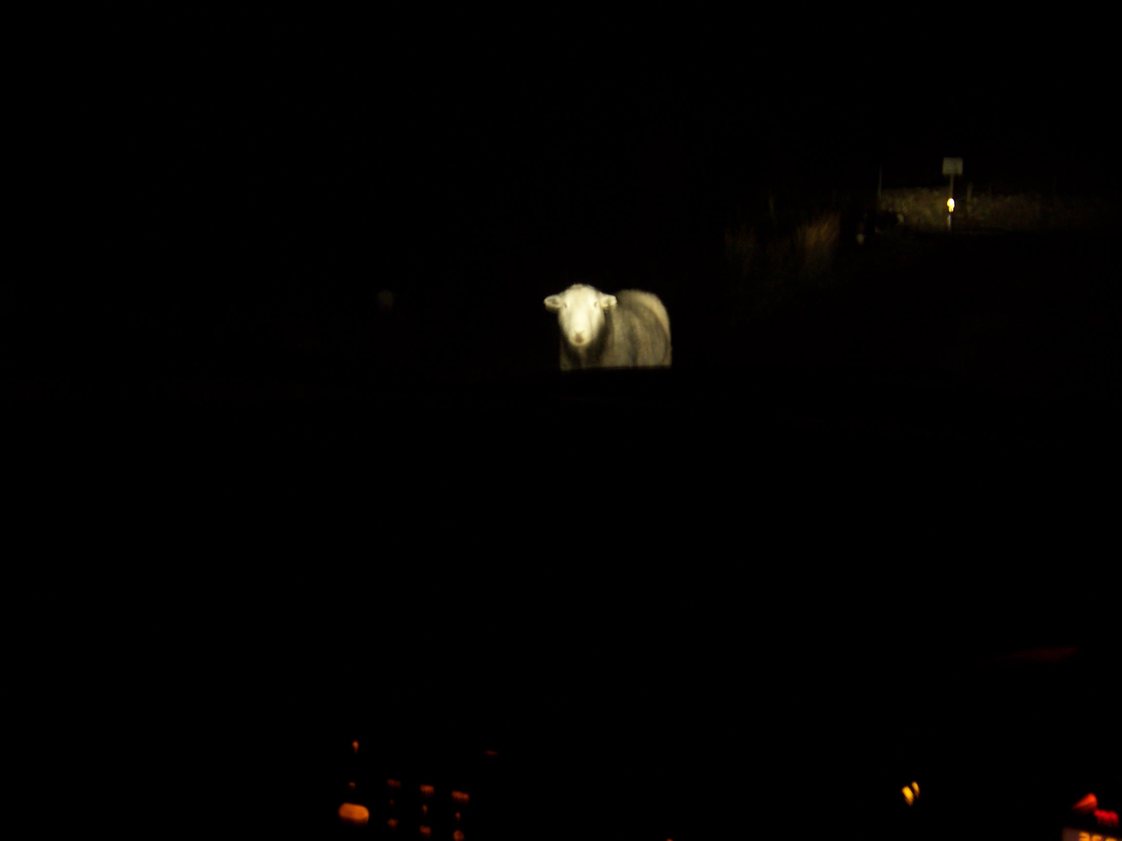
Sheep on the road home 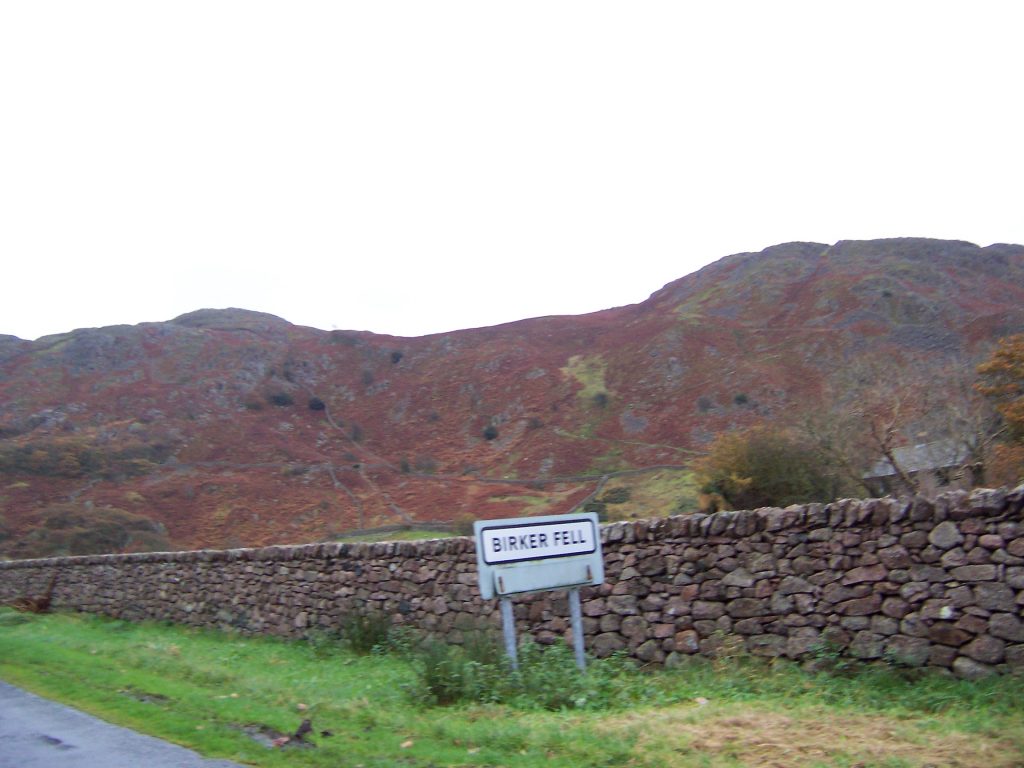
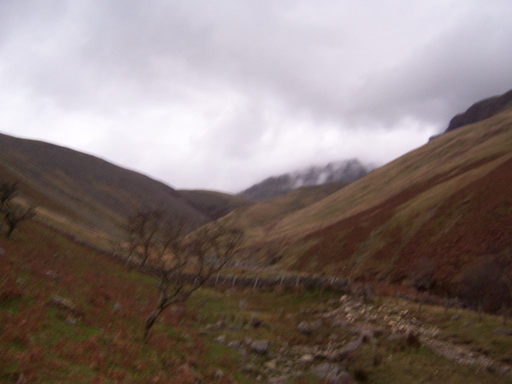
Biker Fell – down the road the next day


That account of getting lost on Scarfell was scary!! Well done for getting out of there, and YES always tell someone ( your family) when you’re doing things like this. Brilliant read though. Gina x